

WHEN YOU NEED ONE
Before you build, buy, split or argue over a line.
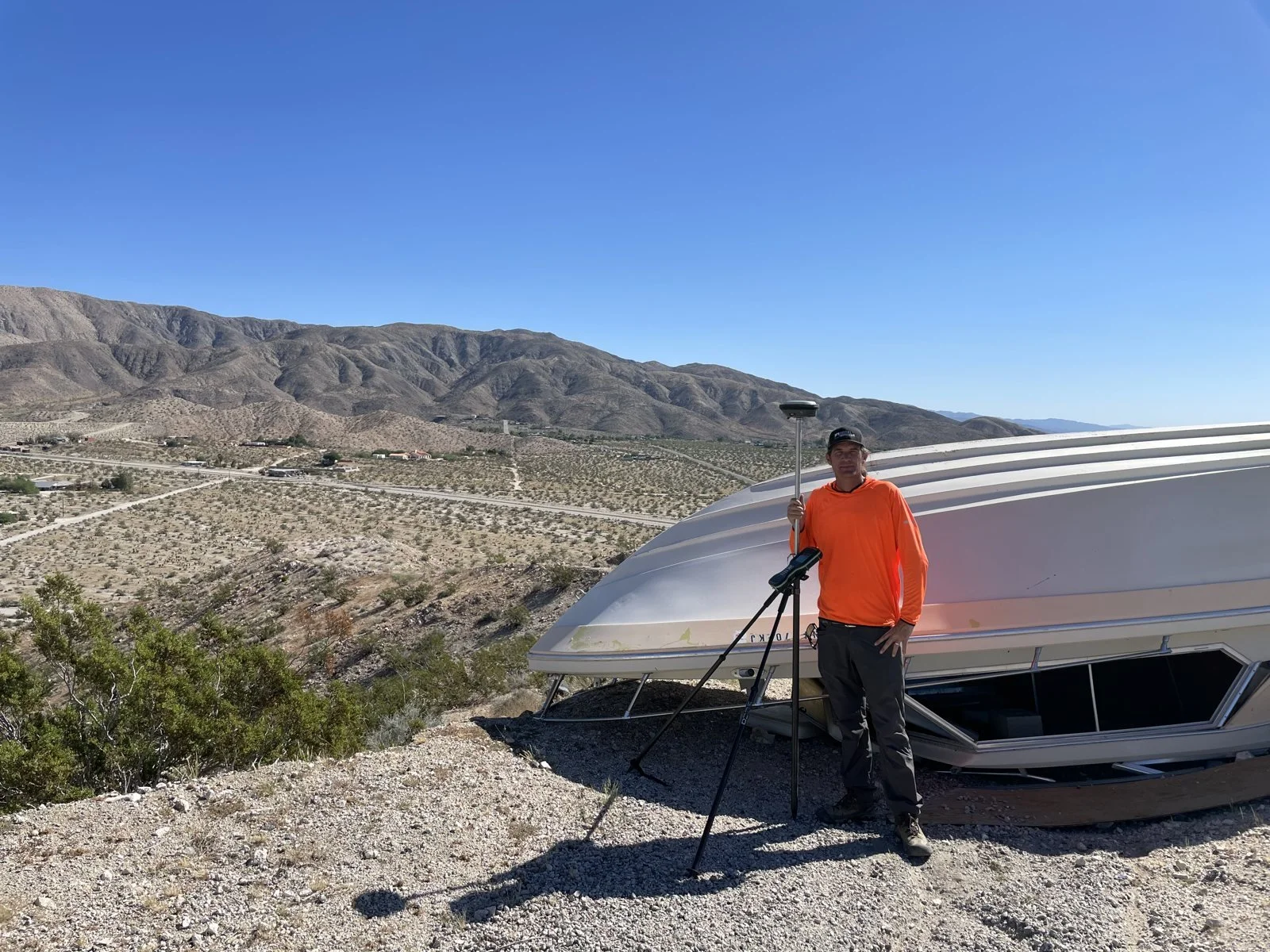
- Buying land or acreage with no visible corners
- Building a fence, wall, addition or ADU near the line
- A disagreement with a neighbor over where the line is
- A lender, title company or county asks for one
- Planning a lot split, parcel map or lot line adjustment
- Corner markers are missing, buried or disturbed
WHAT’S INCLUDED
From the county records to a monument in the ground.
- /01
Records research
Your deed, adjoining deeds, tract and parcel maps, records of survey and corner records.
- /02
Field search
GNSS and total station work to recover existing monuments on and around your parcel.
- /03
Boundary analysis
Record and measured evidence reconciled into a boundary determination under PLS 9320.
- /04
Corners set
Missing corners set with monuments tagged with our license number.
- /05
Plat & filing
A signed plat or exhibit, plus a corner record or record of survey filed with the county when the law requires it.
COST
Every parcel is different. Here’s what drives the price.
- Parcel size, shape and terrain
- How old and how complete the record maps are
- How many existing monuments can be recovered
- Brush, access and distance to the site
- Whether a record of survey must be filed
PRICINGFree written quote
Send an address or APN and you’ll get a written proposal with a firm price.
“He took his time and provided guidance on the markers. Nick was very professional and friendly.”