

Your local land surveyor in Piñon Hills, Phelan & Wrightwood
We’re based in Piñon Hills, so High Desert jobs don’t carry a long drive — and we know how parcels out here were described and monumented.
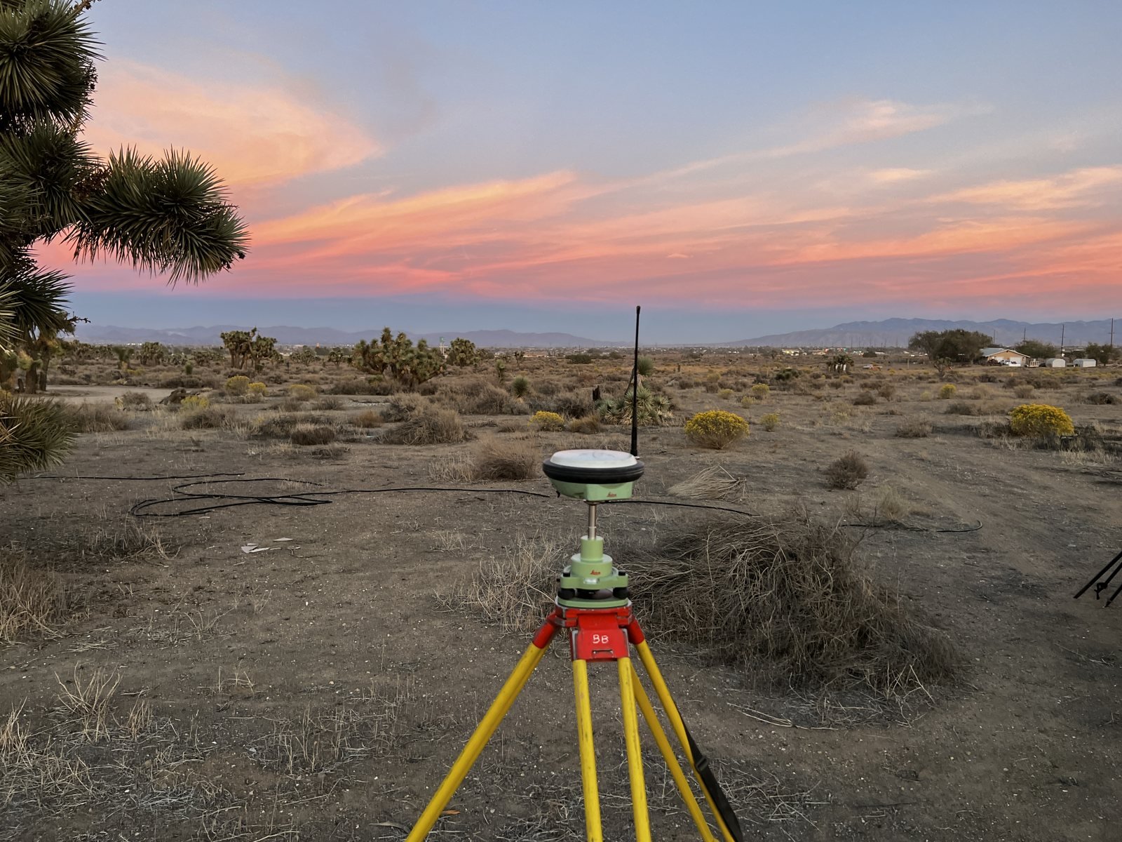
SURVEYING THE HIGH DESERT
Acreage out here needs a different kind of survey.
Section-based descriptions
Many parcels are described as fractions of government sections, not lots on a tract map. Locating them starts with finding the original section and quarter corners.
Few corners on the ground
Large, undeveloped parcels often have no visible markers. We search for the original monuments and set new ones where they’re missing.
Big sites, rough terrain
Drone and LiDAR topo cover 10, 20 or 80 acres in a fraction of the field time — useful for grading, wells, pads and access roads.
COMMON HIGH DESERT JOBS
What we do most here.
- Boundary surveys for acreage purchasesCorners found and set before you buy or fence
- Lot line adjustmentsMoving lines between neighboring parcels
- Parcel mapsSplitting large parcels through San Bernardino County
- Construction stakingHomes, barns, shops and commercial pads
- Drone & LiDAR topoBase maps for your engineer or grading plan
“My uncle and I recently purchased 20 acres and were completely new to the process of having a property surveyed… our experience with them was outstanding.”
High Desert communities we serve
- Piñon Hills
- Phelan
- Wrightwood
- Oak Hills
- Hesperia
- Victorville
- Apple Valley
- Adelanto
- Llano
- Pearblossom
- Palmdale & Lancaster
Also serving the Inland Empire valley, the mountain communities and the rest of Los Angeles County.