

LICENSED LAND SURVEYORS · SAN BERNARDINO, RIVERSIDE & LOS ANGELES COUNTIES
Boundaries,
mapped with
certainty.
Boundary, ALTA, parcel map and construction surveys backed by careful records research and modern field equipment — from the valley floor to the High Desert and mountain communities.
01 — SERVICES
Survey work for owners, builders and engineers.
One licensed surveyor responsible for your job from records research through recorded map.
Boundary Surveys →
Property lines located and monumented from deeds, tract and parcel maps, and recovered corners. Corner records and records of survey filed when required.
ALTA/NSPS Surveys
Lender- and title-ready ALTA/NSPS Land Title Surveys for commercial acquisitions and refinancing, with Table A items scoped to your transaction.
Parcel Maps, LLAs & SB 9 Splits →
Tentative and final parcel maps, lot line adjustments and SB 9 urban lot splits — feasibility, county submittals and final map preparation.
Construction Staking
Building, grading, curb and utility layout for commercial and residential projects, scheduled around your contractors.
UAV & LiDAR Topography
Drone photogrammetry and LiDAR topo for large or rugged sites, delivered as surfaces, contours and CAD-ready base maps for your engineer.
3D Laser Scanning
Registered point clouds of structures, facilities and as-built conditions for design, documentation and volume calculations.
CLIENT REVIEWS
What clients say.
“We had a complicated lot line adjustment project that required a great deal of patience… Nick and Jaime never wavered in their efforts and support to get the job done!”
“Nick took the time to thoroughly explain each step ensuring that my uncle and I fully understood the details which we greatly appreciated as first time land buyers.”
“He took his time and provided guidance on the markers. Nick was very professional and friendly.”
02 — HOW A JOB RUNS
Records first. Then the field.
-
STEP 1
Scope & quote
Tell us the address or APN and what you need. You get a written proposal with a fixed fee or clear hourly estimate.
-
STEP 2
Records research
Deeds, tract and parcel maps, records of survey and corner records are pulled and analyzed before the crew goes out.
-
STEP 3
Field survey
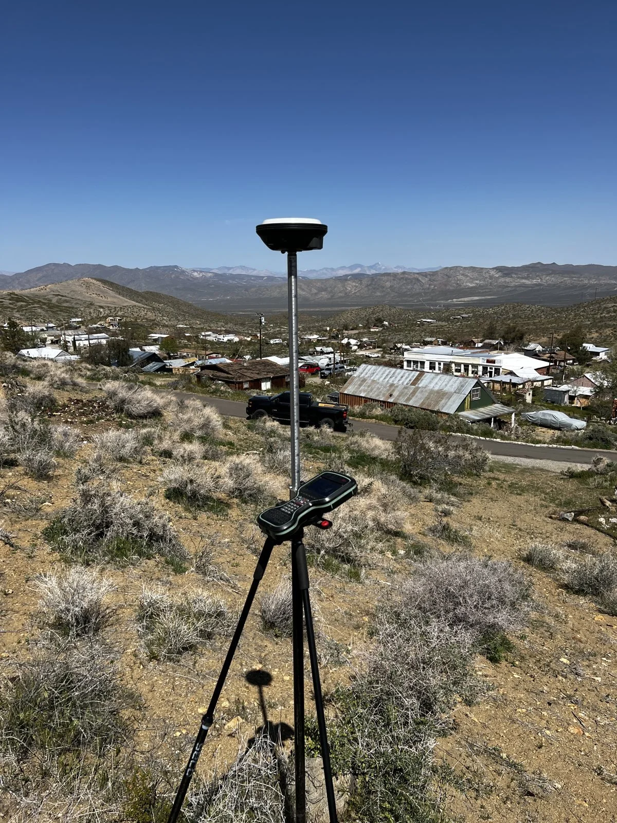
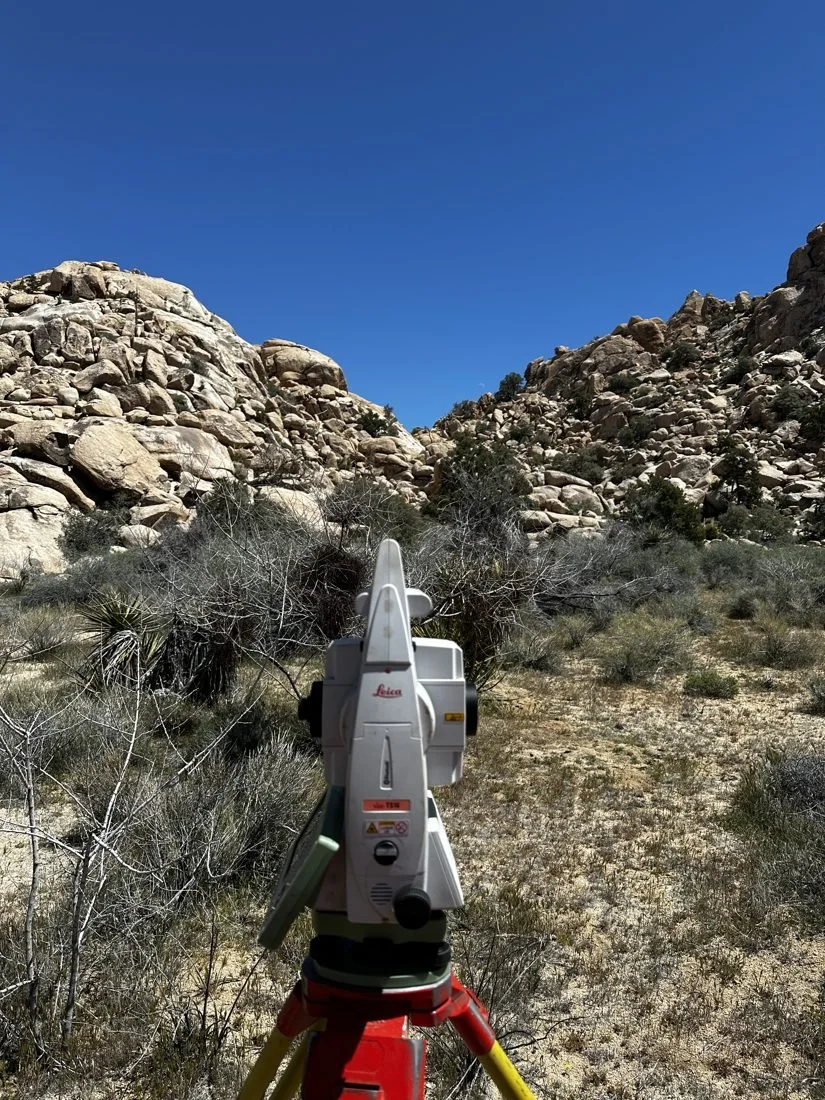
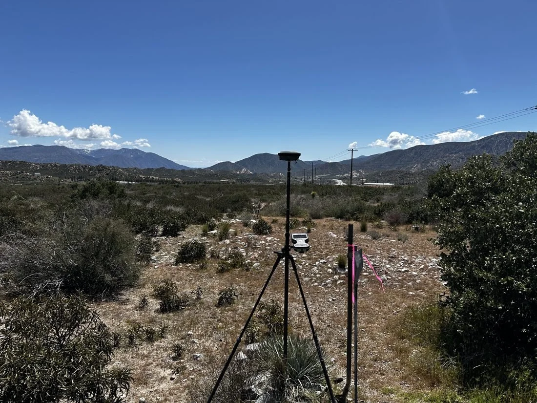
GNSS, robotic total station, drone or scanner — whichever the job calls for — to recover monuments and measure the site.
-
STEP 4
Deliver & file
Signed plats, CAD files and monuments set, with corner records or maps filed with the county when required.
IN THE FIELD
The right instrument for the job.
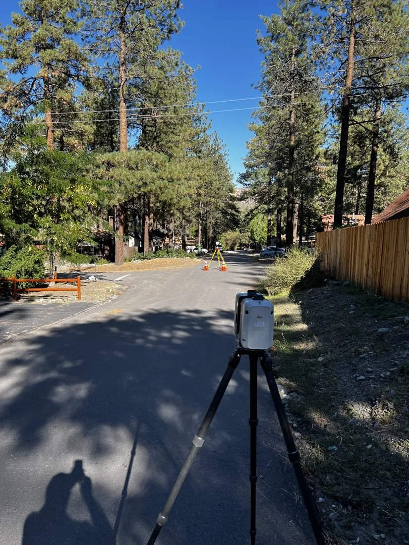
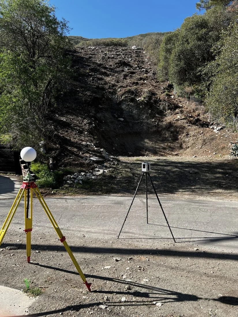
GNSS, total stations and 3D laser scanning — on desert acreage, mountain roads and everything between.
03 — SERVICE AREA
Three counties, from the valley to the High Desert.
San Bernardino, Riverside and Los Angeles Counties — the Inland Empire valley, the mountain communities, the High Desert and the Antelope Valley. Headquartered in Piñon Hills.
- Piñon Hills
- Phelan & Wrightwood
- Victor Valley
- Rancho Cucamonga
- Redlands & Grand Terrace
- Crestline & Lake Arrowhead
- Perris & Riverside
- Coachella Valley
- Joshua Tree & Morongo Basin
- Palmdale & Lancaster
- Llano & Pearblossom
04 — ABOUT
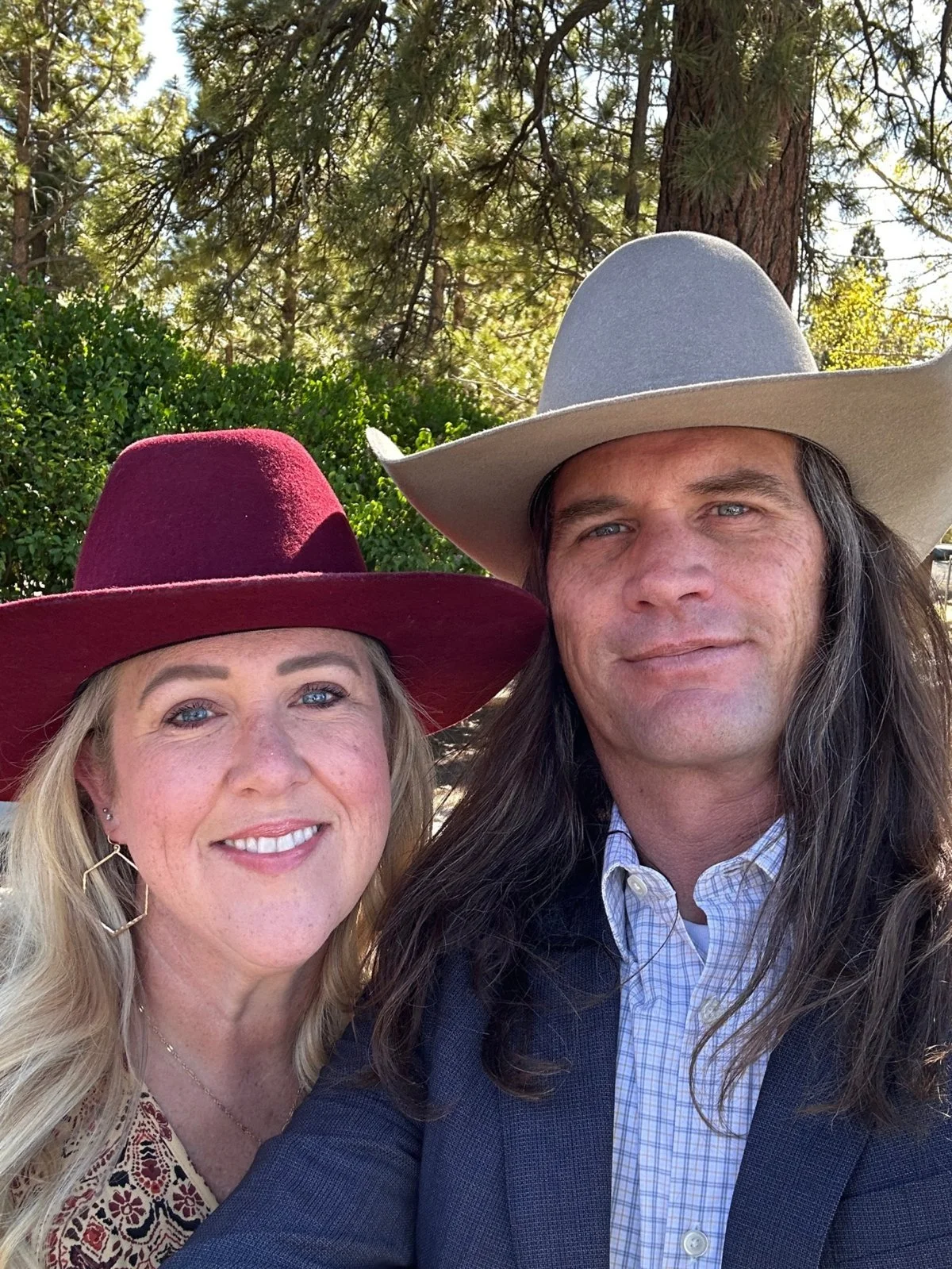
Meet Nick & Jaime.
Nick Ellis, PLS 9320, has been surveying since 1999, with experience in both private practice and the public sector. He has run boundary, mapping and construction surveys for private clients, and geodetic control and mapping work on large public-agency projects.
That background — GPS control networks, network adjustments, LiDAR and 3D laser scanning — goes into every Foothill job, from a single residential corner to a multi-parcel subdivision. Each one is researched, measured and signed under his license.
Jaime Ellis, Chief Administrative Officer, keeps your project moving and makes sure you always know where it stands. When you call, you reach a real person who knows your job.
Clients mention it again and again: we answer the phone, explain each step, and stay with the project until it’s done.
IN THE COMMUNITY
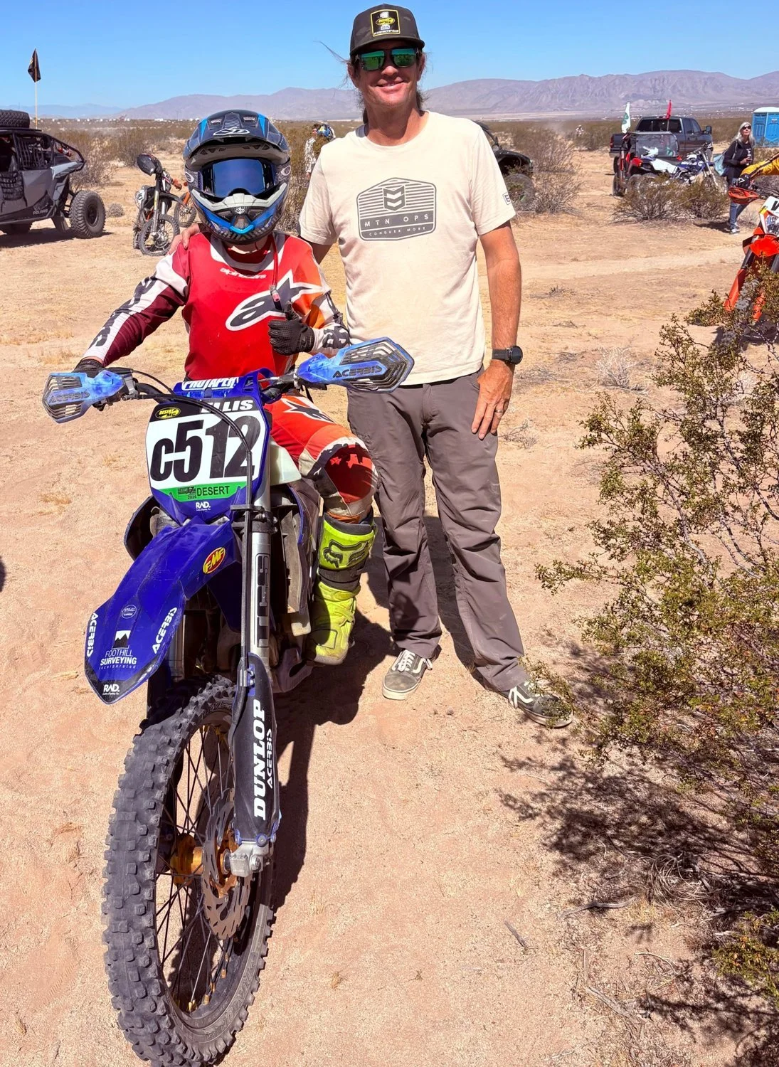
We survey the desert. We race it too.
Foothill Surveying is a proud sponsor of local off-road racing — including Nick’s son Lucas, who runs #C512 on his YZ125 in AMA District 37 desert races.
We’re a family business rooted in the High Desert, and we back the people who ride it.
05 — CONTACT
Start with an address or APN.
We’ll review the records and send a written proposal.
- PHONE
- (909) 294-6908
- PO Box 720942
Piñon Hills, CA 92372
Request a quote online
Tell us the address or APN and what you need. It takes about two minutes, and Nick or Jaime will get back to you with a written proposal.
Start your request