

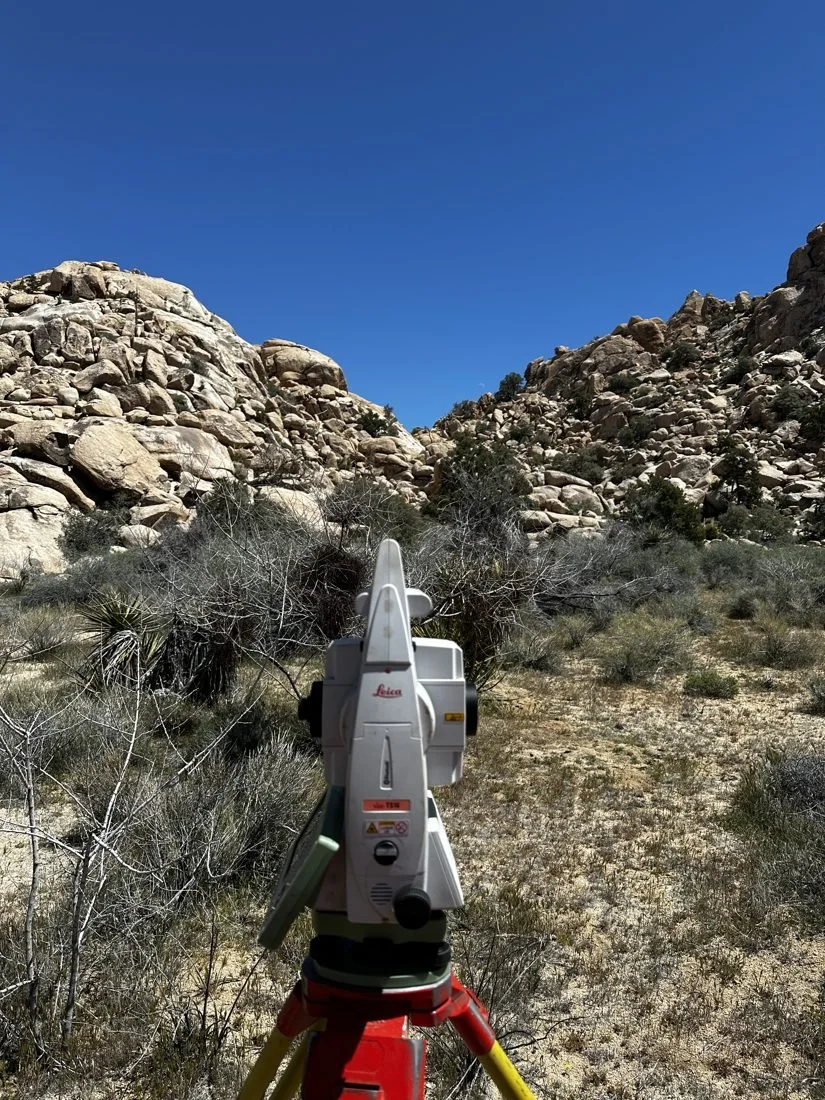
5-ACRE PARCELS
Homestead-era parcels need a surveyor who reads the old record.
Much of the basin was patented in five-acre tracts under the federal Small Tract Act of 1938 — the “jackrabbit homesteads,” typically 330 by 660 feet. Those parcels are described from section lines laid out by government surveys generations ago, and the original corners are often missing, disturbed or never set.
Add patchwork public and private ownership and dirt roads that don’t always follow the recorded rights-of-way, and it’s easy to build in the wrong place. We start with the patent, the government plats and the county’s records of survey, then find what’s actually on the ground.
Common jobs out here
- Bought a lot online and need to find it — and its corners
- Building a cabin, home, ADU or rental and need setbacks staked
- An old homestead cabin, fence or well that may sit over the line
- Access questions — which dirt road is actually a recorded easement
- Splitting or adjusting lines between neighboring parcels
TOWN OR COUNTY?
Who reviews your project depends on which side of the line you’re on.
Yucca Valley & Twentynine Palms
Incorporated — lot splits, lot line adjustments and grading go through the town or city. SB 9 lot splits may be available on qualifying single-family lots.
Joshua Tree, Landers, Morongo Valley & beyond
Unincorporated San Bernardino County — handled by County Land Use Services. New parcels usually mean a parcel map; SB 9 rarely applies to rural acreage.
Either way
Corner records and records of survey are filed with the San Bernardino County Surveyor. We handle the filing when the law requires it.
SERVICES IN THE BASIN
One licensed surveyor, from records to monuments.
Boundary surveys →
Lines located from the record and monumented on the ground.
Corner searches & staking
Find and set the corners before you fence, grade or build.
Lot splits & LLAs →
Parcel maps, lot line adjustments and SB 9 where it applies.
Topo & drone surveys
UAV and LiDAR mapping for site plans, drainage and grading.
WHY FOOTHILL
A desert surveyor, not a city firm making a long drive.
We’re based in Piñon Hills and run out to the basin by Lucerne Valley and Old Woman Springs Road. We know desert parcels, desert records and what it takes to recover a corner in sand and creosote — and you deal directly with the licensed surveyor who signs your map.
Send an address or APN. We’ll review the records and reply with a written proposal.